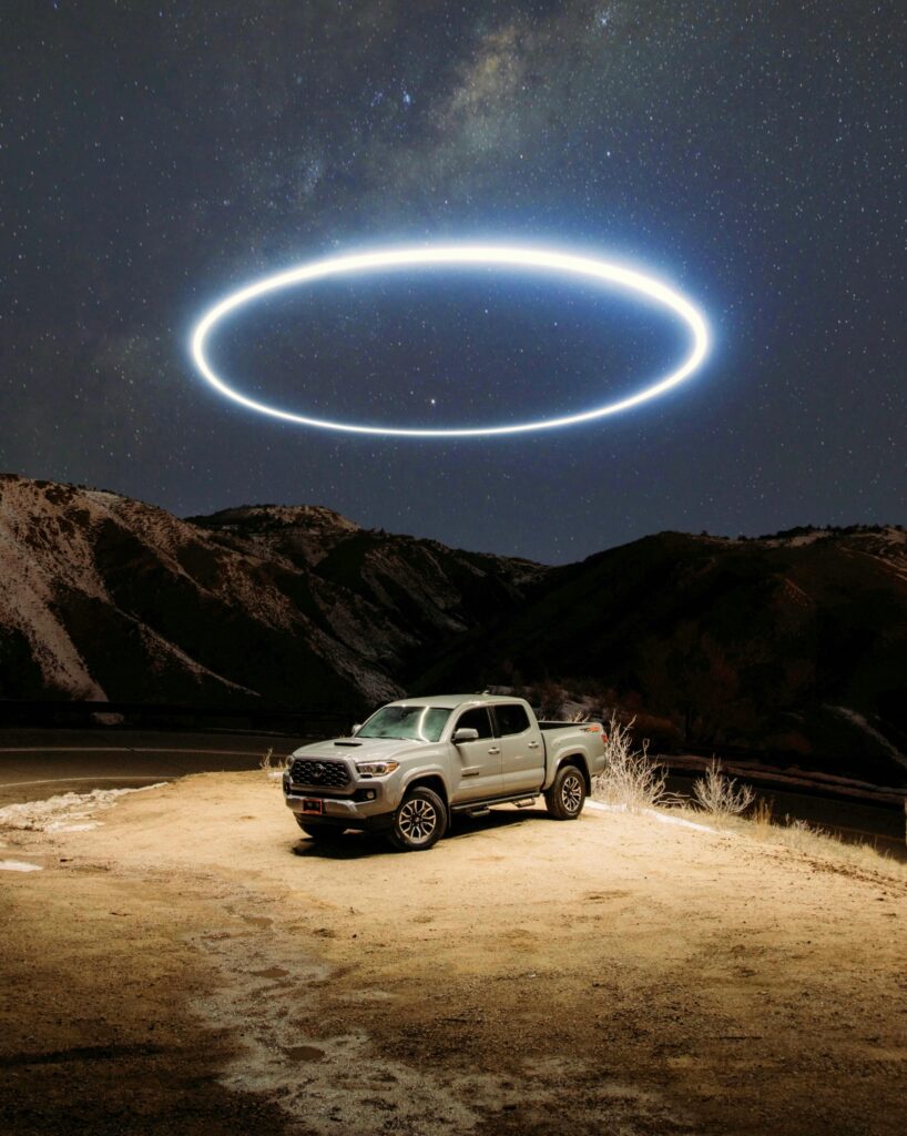
Overlanding offers an exhilarating way to explore the rugged beauty of America’s backcountry, but when your route skirts government bases, laboratories, and sensitive areas, the adventure takes on an extra layer of intrigue—and caution. These locations, often shrouded in secrecy due to military operations, scientific research, or historical significance, provide a backdrop for overlanders seeking not just scenic trails but also a dive into curiosities like UFO lore, atomic history, and volcanic wonders. However, safety and legality are paramount: always respect boundaries to avoid fines, detentions, or worse. In this post, we’ll summarize three of the most famous destinations for such overlanding trips, discuss essential tools for planning routes while steering clear of restricted zones, and explore the fascinating curiosities these areas hold.
Three Famous Overlanding Destinations Near Sensitive Sites
1. Extraterrestrial Highway Near Area 51, Nevada
The Extraterrestrial Highway (State Route 375) is a 98-mile stretch of remote Nevada desert that’s become legendary among overlanders for its proximity to Area 51, the secretive U.S. Air Force facility rumored to house extraterrestrial technology. This route starts near Crystal Springs and winds north to Warm Springs, offering sparse, otherworldly landscapes with minimal traffic—perfect for dispersed camping and stargazing under some of the darkest skies in the U.S. Overlanders can explore side trails like the Groom Lake Road (but stop well before restricted gates) or visit quirky roadside attractions. The area is part of the Nevada Test and Training Range, so stick to public lands to avoid armed security patrols. For more details, check out the official route guide at Travel Nevada’s Extraterrestrial Highway page.
2. New Mexico Backcountry Discovery Route Near White Sands Missile Range
Spanning over 1,200 miles from the Colorado border to Mexico, the New Mexico Backcountry Discovery Route (NMBDR) is a premier overlanding path that brushes against the White Sands Missile Range—a vast military testing ground famous for the Trinity Site, where the first atomic bomb was detonated in 1945. Key sections near the range include sandy passages west of Carrizozo, leading to overlooks of the gypsum dunes in White Sands National Park. This route combines high-desert vistas, mountain passes, and remote camping spots, but overlanders must navigate around periodic road closures due to missile tests. It’s ideal for multi-day trips with a mix of gravel roads and technical sections. Plan your adventure using the official map at RideBDR’s NMBDR page.
3. Jemez Mountains Trails Near Los Alamos National Laboratory, New Mexico
The Jemez Mountains, encompassing the Valles Caldera National Preserve, offer a network of overland routes near Los Alamos National Laboratory—the birthplace of the Manhattan Project and ongoing nuclear research site. Popular trails like those in the Santa Fe National Forest include the Valles Caldera loop, where you can drive forest roads through ancient volcanic craters, hot springs, and elk-filled meadows. This area features moderate off-road challenges with elevation gains up to 11,000 feet, making it great for scenic drives and hiking side trips. Proximity to the lab means some trails border restricted zones, so use maps to stay on public paths. Explore more at the USDA Forest Service’s Santa Fe National Forest page.
Tools for Planning Routes and Avoiding Restricted Areas
Planning an overland trip near sensitive areas requires precision to ensure you don’t accidentally enter no-go zones like military firing ranges or secure research facilities. Here are some top tools that emphasize land ownership layers, real-time updates, and boundary alerts:
- onX Offroad App: This GPS mapping tool is a favorite for overlanders, providing detailed offline maps with color-coded layers showing public lands, private property, and restricted government areas (e.g., military bases). It helps plot custom routes while highlighting closures, making it essential for avoiding fines near places like Area 51. Download it from the App Store.
- Gaia GPS: Similar to onX, Gaia offers premium layers for topographic maps, satellite imagery, and land management boundaries, including BLM, Forest Service, and DoD restrictions. It’s great for route planning on desktop or mobile, with community-shared tracks to verify safe paths. Get started at Gaia GPS.
- iOverlander App: A free, community-driven tool for finding campsites, water sources, and points of interest, with user notes on restricted areas and road conditions. It’s invaluable for real-time intel on closures near labs or bases. Visit iOverlander for more.
Other helpful resources include Benchmark Maps’ Road & Recreation Atlases for paper backups showing land ownership and forums like Overland Bound for local tips. Always cross-reference with official government sites like the BLM or DoD for the latest restrictions.
Exploring the Curiosities: Myths, History, and Wonders
What draws overlanders to these areas isn’t just the drive—it’s the stories. Near Area 51, dive into UFO conspiracies at spots like the Little A’Le’Inn, where locals share tales of strange lights and government cover-ups (just don’t try to “storm” the base). Around White Sands, reflect on the atomic age at the Trinity Site (open twice a year for tours), pondering the ethical questions of nuclear testing amid the eerie white dunes. In the Jemez Mountains near Los Alamos, hike to ancient Pueblo ruins or geothermal features in Valles Caldera, connecting with the Manhattan Project’s legacy while enjoying volcanic geology that’s over a million years old. These curiosities add depth to your trip: use binoculars for distant views of facilities, read up on declassified history, and engage with local museums—all from legal vantage points.
Overlanding near these sensitive spots blends adrenaline with education, but prioritize preparation and respect. Gear up with the right tools, stay informed, and share your stories.
Tread Lightly and Gladiator Up! – Doug

