
Saturday, October 25, 2025, I attended a free OnX Offroad clinic at Hawk Pride Mountain Offroad park in Tuscumbia, AL. The event was sponsored by OnX and led by local trail guide Chad Overcast, who walked participants through everything from downloading the app to exploring its essential tools and features.
Even as a premium user for over a year, I found the session incredibly valuable. Chad provided a great refresher on key functions and introduced several tools I hadn’t fully explored before — such as offline map saving, layer customization, and efficient route sharing between users.
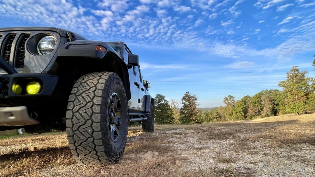
After the morning clinic, we broke for lunch before hitting the trails. The group was divided into four smaller teams for an afternoon of guided rides. Chad had pre-built routes for each group, which he easily shared through the app. Loading and following these routes was seamless — a true testament to the platform’s power in real-world use.
The event was co-presented by 4WD Outfitters, based in Huntsville, Alabama, and well attended by members of the Rockit City Wranglers, a Facebook-based Jeep club. Trail conditions were dry and dusty, but the weather was absolutely perfect for a group ride — overcast mixed with sunshine, great people, and a shared love for adventure.
What Is OnX Offroad?
I use several map apps and GPS navigation tools. OnX Offroad is one of the most powerful navigation tools available for the overlanding and off-roading community. Available on both mobile and desktop, it allows users to plan routes, mark waypoints, discover verified trails, and track rides — even when they’re completely off the grid.
Some of its core features include:
- Trail discovery: Access to thousands of public and private offroad trails across the U.S. – my favorite feature
- Offline maps: Save maps for use without cell service — crucial for remote overlanding.
- Custom waypoints & tracking: Drop pins, mark obstacles, and track your routes in real time.
- Land boundaries & ownership info: Identify public vs. private land to stay legal and responsible.
- Trail difficulty ratings and photos: View community-verified details before you roll out.
OnX Membership Levels and Pricing
OnX Offroad offers two membership tiers:
- Free Plan: Includes access to basic maps, waypoints, and a limited selection of trails.
- Premium Plan – $34.99/year: Unlocks full trail maps, offline access, and detailed public/private land data.
- Elite Plan – $99.99/year: Adds nationwide private landowner information and property boundaries — ideal for explorers who cross state lines or venture into remote regions.
Monthly plans are available as well, starting at around $4.99/month for Premium and $14.99/month for Elite.
While you’re there, take a little time to explore the OnX Offroad website itself — they’ve built a massive library of helpful content to learn from and inspire your next adventure. You’ll find trip features, gear reviews, and how-to videos that go far beyond navigation. One great place to start is their Rugged Adventures section: https://www.onxmaps.com/offroad/trips/rugged-adventures.
What Is an OnX Trail Guide?
An OnX Trail Guide is an experienced off-road enthusiast who contributes to the platform by mapping, verifying, and documenting trails for the broader community. Trail Guides help ensure that OnX users have accurate, up-to-date, and detailed information when planning their next adventure.
Guides record routes, submit trail data (including difficulty, surface type, obstacles, and waypoints), and share photos and local insights. This not only builds the trail database but also strengthens the off-road community by making trails safer and more accessible to new drivers.

Why I Plan to Contribute
Here in Middle Tennessee, there’s currently a noticeable void of OnX-verified trails. Our region has incredible terrain — from the rolling hills near Columbia to the ridgelines around the Natchez Trace and beyond — but many routes are still undocumented on the platform.
My goal is to help fill that gap by becoming a certified OnX Trail Guide and contributing high-quality, verified content for local riders. I believe that accurate digital mapping helps keep our trails open, safe, and sustainable — and ensures the next generation of adventurers can enjoy them too.
Tread lightly and Gladiator Up! – Doug
Disclaimer: This post is not sponsored by OnX Offroad or any affiliated partners. All opinions, experiences, and recommendations shared are my own.