Navigation, Safety Planning & Route Sharing
When you’re out in the backcountry, your navigation setup is one of the most important systems in your entire rig. Good tires and suspension mean nothing if you lose your route, miss a turn, or can’t find your way out when the weather turns. Digital maps have never been better, but the farther you get from town, the more you realize how fragile technology can be.
This installment of Overlanding 411 covers the modern “maps and apps” ecosystem—what works, what you actually need, and how to build true redundancy into your navigation plan. And yes, we’ll include a brief sidebar on responsibly going #2 outdoors. It rhymes with “Maps and Apps,” and it’s a topic too short for its own post but too important to ignore.

Digital Navigation: Your Core Overlanding Toolkit
OnX Offroad
OnX Offroad is debatably the strongest all-around trail-mapping platform in the U.S., especially in the Southeast where forest road closures change seasonally. You’ll get trail difficulty ratings, gate status, waypoints, layers for weather, landownership and even cell carrier coverage and rock-solid offline map downloads.
Link: https://www.onxmaps.com/offroad?utm_source=gladiatorup.com
Gaia GPS
Gaia is ideal for long-distance planning, topo-heavy areas, and expedition-style travel. The layering system is unmatched—MVUM maps, slope angle, shaded relief, public land boundaries, weather layers, and more.
Link: https://www.gaiagps.com?utm_source=gladiatorup.com
Google Maps (Offline Mode)
Still the best for towns, fuel, grocery stops, and rerouting. Download offline maps before you leave, and Google will keep you covered even with no signal.
Link: https://maps.google.com?utm_source=gladiatorup.com
Avenza Maps
Avenza lets you load georeferenced PDF maps—like BDR sections, National Park maps, and Forest Service maps—and follow your dot on the page even in airplane mode.
Link: https://www.avenzamaps.com?utm_source=gladiatorup.com
Other Apps Worth Installing
- Windy.com — weather + wind forecasting
- RadarScope — high-resolution storm tracking
- iOverlander — campsites, vault toilets, water sources
- Starlink Coverage Map — useful if running a dish
- Jeep/Uconnect Apps — trip logs, diagnostics

Analog Navigation: Your True Safety Net
Digital tools are incredible, but they all depend on one fragile assumption: that the device you’re holding will keep working. Out in the backcountry, that’s never guaranteed. Phones overheat on dashboards, freeze in mountain temps, drain unexpectedly, or crack the moment you drop them on a rock. GPS units glitch. Apps crash. Water finds its way into places it shouldn’t. And when it does, you suddenly realize how blind you are without a physical map in hand.
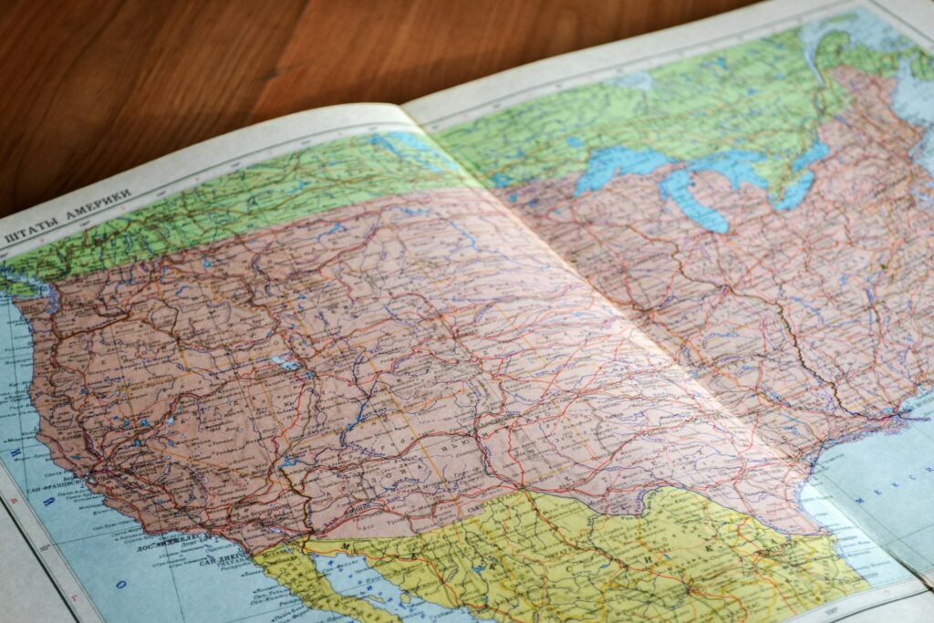
That’s why experienced overlanders still rely on printed maps and atlases as the ultimate fail-safe. Paper doesn’t need a battery. It doesn’t care if you’re in a canyon, a storm, or a no-signal wilderness where the nearest cell tower is three counties away. When everything digital goes offline, analog navigation becomes the foundation that keeps you oriented, confident, and in control.
Benchmark Atlases
Benchmark isn’t flashy, but that’s why it works. It’s dependable. It’s accurate. And when your digital screens go black, it becomes the most important piece of navigation gear you own.
Link: https://benchmap.com (redirects to Benchmark)
Forest Service Maps
Official USFS district maps often show open/closed roads more accurately than any app. They’re inexpensive and can be found at ranger stations or downloaded as PDFs (and printed).
Link: https://www.fs.usda.gov/maps?utm_source=gladiatorup.com
Build a Map Binder
Print your route sections, slip them into sheet protectors, and keep them in a slim binder or folio. Combine this with your digital tools and you’re protected against almost any navigation failure.
Your Redundant Navigation Stack (RNS)
A simple, proven structure used by experienced overlanders.
Primary Navigation
OnX Offroad or Gaia GPS (all offline regions pre-downloaded).
Secondary Navigation
Avenza PDFs of your exact route + screenshots of key segments saved to your phone. (and printed)
Tertiary Navigation
Benchmark atlas + Forest Service district maps gathered or printed stored in your rig.

Share Your Route Before You Go (Seriously—Don’t Skip This Step)
Before you turn the key or drop into 4-Low, share your planned route with two kinds of people: (1) your closest kin, and (2) the one friend who will absolutely drop everything and come looking for you if something goes sideways. Everyone has that one person—the buddy who answers on the first ring, doesn’t panic, and knows the difference between a wrong turn and a real emergency. Those two contacts form your real-world safety net. If you miss a check-in, they know your general direction, your camp target, and when it’s time to call for help or go find you.
What to Share
- Your start point and intended end point
- Your estimated travel timeline
- Any alternate routes you may take
- Your intended camp location(s)
- The apps or maps you’re using
- A screenshot of your offline map downloads
- Your vehicle description and plate number (yes, this matters)
- When they should expect your next check-in
How to Send It
Text message works. So does a shared note, pinned iMessage thread, Messenger, or email. If you use OnX Offroad, use the native “share route” feature so your contacts have a live, readable version of the plan.
Pro Tip
Set a single, simple rule: If I haven’t checked in by X time, call me once. If I don’t answer, start the plan.
Clear is safe. Vague is dangerous.
Night-Before Departure Checklist
- Download and test offline maps (airplane mode, wifi off)
- Update weather awareness, double check kits and clothing for weather appropriateness
- Check trail/road status
- Screenshot critical route segments (in case apps are crashing, at least you’ll have a photo)
- Pack your paper maps in waterproof storage
SIDEBAR: Taking CrapS in the Backcountry (Responsibly)
I included this section on a whim as it rhymes with maps and apps and it s topic too short to warrant a full article.
Also it deserves mention because misuse is one of the biggest contributors to trail closures nationwide.
The Only 3 Legit Methods
1. Wag Bags (Best Practice)
Lightweight, sanitary, and accepted everywhere. Keep at least two in the rig and one in your daypack.
Link: https://cleanwaste.com/products/go-anywhere-wag-bag?utm_source=gladiatorup.com
2. Cat Hole (Where Allowed)
Only in areas where it’s legal and soil conditions permit:
- 6–8 inches deep
- 200 ft from water
- Bag used paper products (bury only crap)
- Cover and disguise fully
Many Southeastern forests prohibit cat holes due to clay soil and visitor volume.
3. Portable Toilet / Bucket System
A simple lined bucket with absorbent powder (kitty litter) works great for multi-day trips and vehicle-based camping.
Link: https://relianceproducts.com?utm_source=gladiatorup.com
TP Rule of the Trail
Pack it out. Always.
The “Oh No Kit” (Make One Today)
- 1 wag bag
- Small TP roll
- 1–2 dog waste bags
- Hand sanitizer
- Unscented wipes
- Compact trowel
Keep one kit in the rig and one in your pack.

Summary: The Maps and Apps You Actually Need
Navigation doesn’t have to be complicated—you just need coverage in three layers:
Your Digital Stack
- OnX Offroad → Your primary trail system
- Gaia GPS → Topo detail + layering
- Avenza → Official PDFs (NPS, BDR, USFS)
- Google Maps Offline → Towns, fuel, real-world routing
Your Analog Stack
- Benchmark atlas
- Forest Service district maps
- Printed/screenshot route segments
- A compact binder or map folio
Why This Matters
Redundancy gives you confidence. It keeps you safer. It keeps you on route and off restricted land. And when weather changes—or a trail closes mid-trip—you already have a backup plan in place.
This is how experienced overlanders travel. And now you’re doing it too.
Tread lightly and Gladiator Up! – Doug
Get Gladiator Up delivered to your Inbox
Latest Posts
- Jeep Gladiator Truck Campers: Weight, Payload, and Best Options
- The Scrambler Returns: Why Jeep’s Most Exciting Future Truck Isn’t a Gladiator
- Gladiator Mojave MAINTENANCE Marathon
- Oil Life Fact vs. Fiction: What Your Jeep Gladiator Is Really Telling You
- Jeep Gladiator Mojave Suspension Refresh: OEM Fox Shocks vs. Overland Lift